Screen Shots
When the program is executed, it tries to launch a GTK user interface, but it can operate in command line mode like a batch process, then all needed options are taken from the configuration file or from command line as arguments.
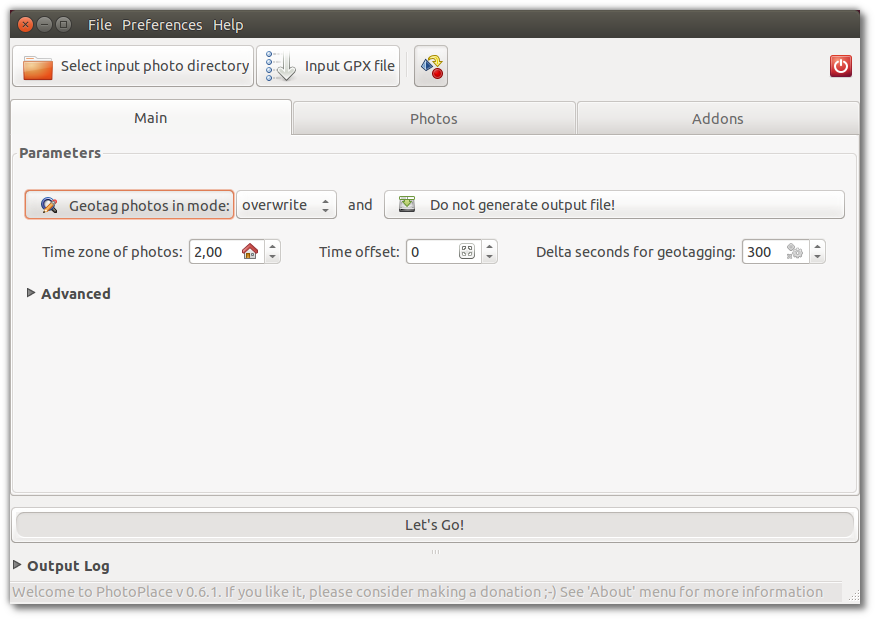
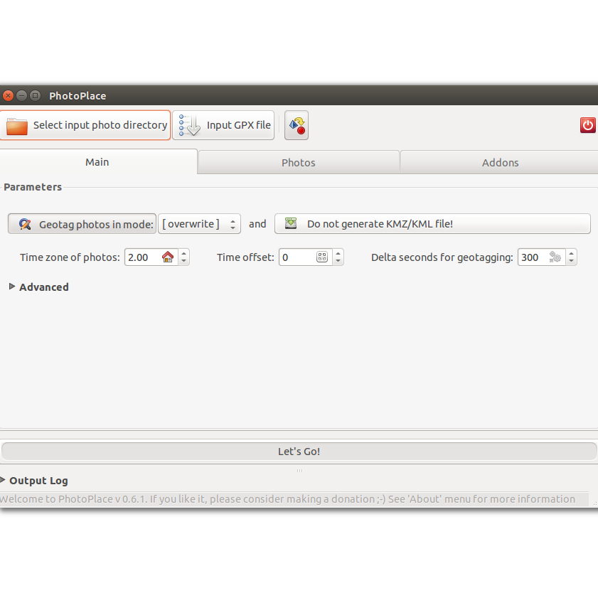
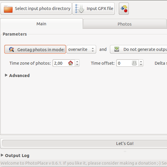
Main Screen
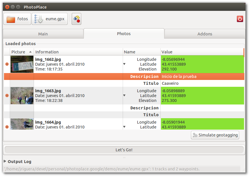
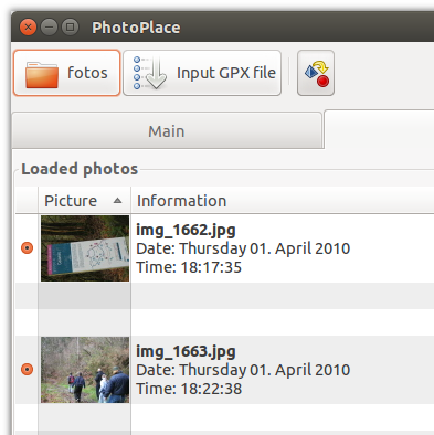
Photo List
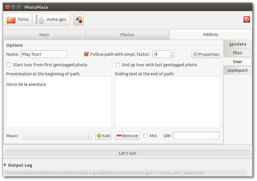
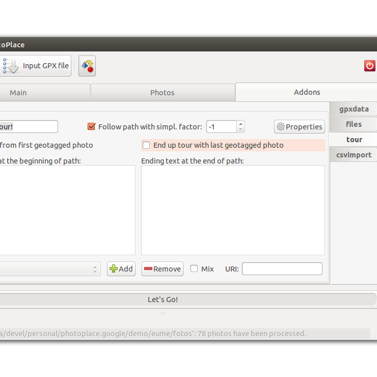
Plugins' Section
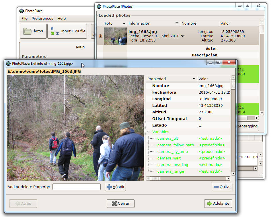
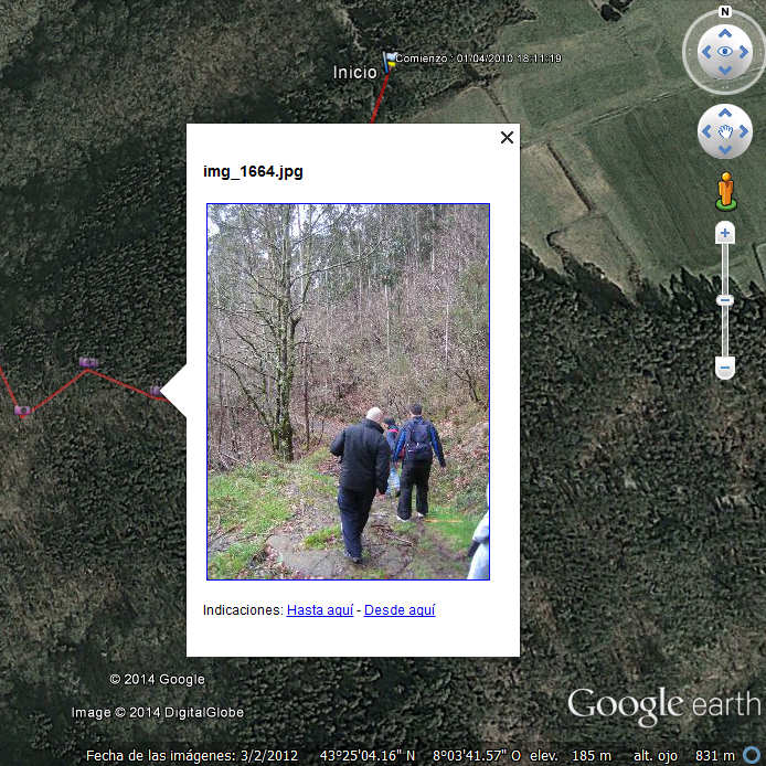
Photo Viewer
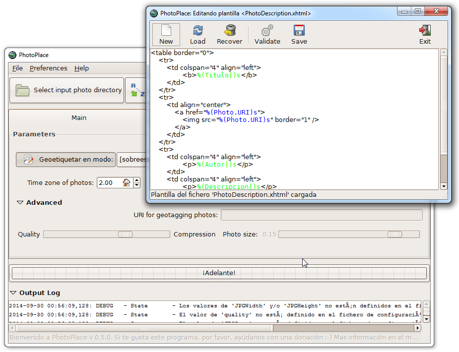
Template Editor